Multi-criteria Decision Analysis
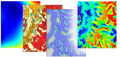
Along with its data preparation and presentation capabilities, TNTmips provides many advanced processes for compiling, analyzing, and interpreting the geospatial characteristics and database attributes of your geodata layers and creating higher-level products from them. Specialized analysis processes are provided for geodata in both raster and geometric (vector, CAD, shape) formats and for transferring spatial information from one layer to another. These processes enable you to turn the data in your geospatial layers into geospatial information.
See also:
Tech Guides on Geospatial Analysis and
Geospatial Analysis tutorials.

Polygon Fitting (Home Range)

Point Density

Geospatial Analysis Highlights
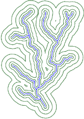
- Generate single or multiple buffer zones for points, lines, and polygons
- Perform multi-criteria decision analysis using different spatially varying conditions defined by any number of spatial layers to identify areas of differing cost/benefit
- Select points, lines, or polygons for spatial analysis in various ways: all elements, manual selection, or by querying database attributes
- Define stream networks, watersheds, and subwatersheds from a digital elevation model
- Use Network Analysis to compute optimal routes and define service/distribution areas for facility locations
- Generate polygon grids (rectangle, hexagon, triangle) with specified orientation to cover the entire geospatial layer or a particular polygon or region
- Compute centered or randomly-located sample points for polygon grid cells and transfer attributes from polygons to points
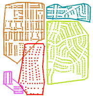
- Fit polygons to distributions of point observations (bird nesting sites, disease occurrences, ...) with separate polygons for points with different attributes
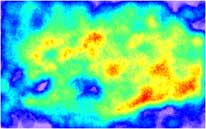
- Map density of distributed points for a specified radius
- Combine spatial information from coincident land use, habitat, or other categorical rasters into a single image identifying all unique combinations of conditions
- Compile 2D or 3D statistical properties of polygonal areas in a selected raster and attach these attributes to the polygons
- Compile selected attribute statistics from source points or polygons over target polygonal areas and attach these attributes to the target polygons
- Determine the shortest downward path from a point in an elevation, distance, or cost raster
- Find the shortest or least expensive path between two points in a raster representing elevation or cost
