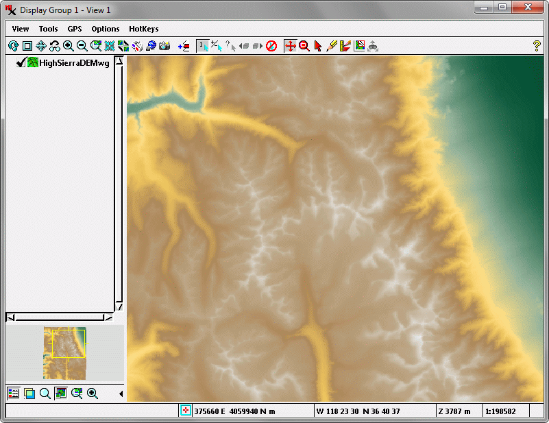
Dynamic Terrain Layer Display
Elevation raster objects or web terrain tilesets can be added to Views as terrain layers and visualized with your choice of adjustable relief shading, color-coded elevation, or a combination (color shaded-relief) See the Visualizing Terrain Layers Technical Guide for more information.


