Geodata
Technical Guides & other documentation
See also:
Geodata Format Summary Table
GEODATA
Introduction to: Working with Massive Geodata Objects
(24 pp)
Datasets
1-meter Stereo of Anywhere in the USA
10-meter Stereo of anywhere in the World
Interpret Features for any Global Area
Add Microsoft�s Bing Maps to View
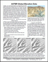
ASTER Global Elevation Data
(2 pp)
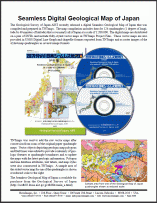
Seamless Digital Geological Map of Japan
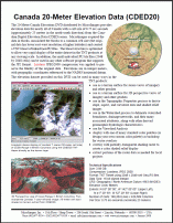
Canada 20-Meter Elevation Data (CDED20)
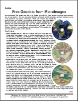
Free Geodata from MicroImages
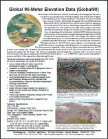
Global 90-Meter Elevation Data (Global90)
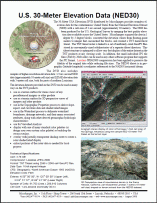
U.S. 30-Meter Elevation Data (NED30)
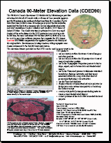
Canada 90-Meter Elevation Data (CDED90)
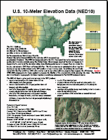
U.S. 10-Meter Elevation Data (NED10)
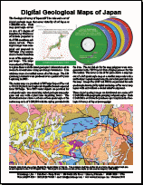
Digital Geological Maps of Japan (2-sided)
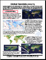
Global Geodata (2006:72)
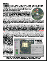
Nebraska Land Viewer Atlas 2nd Edition
Geodata
Introduction to: Working with Massive Geodata Objects
Datasets
1-meter Stereo of Anywhere in the USA
Datasets
10-meter Stereo of anywhere in the World
Datasets
Interpret Features for any Global Area
Datasets
Add Microsoft�s Bing Maps to View
Datasets
ASTER Global Elevation Data
Datasets
Seamless Digital Geological Map of Japan
Datasets
Canada 20-Meter Elevation Data (CDED20)
Datasets
Free Geodata from MicroImages
Datasets
Global 90-Meter Elevation Data (Global90)
Datasets
U.S. 30-Meter Elevation Data (NED30)
Datasets
Canada 90-Meter Elevation Data (CDED90)
Datasets
U.S. 10-Meter Elevation Data (NED10)
Datasets
Digital Geological Maps of Japan (2-sided)
Datasets
Global Geodata (2006:72)
Datasets
Nebraska Land Viewer Atlas 2nd Edition